
Global Mapping, Inc. provides services to a wide array of clientele. The multi-faceted nature of GIS allows it to be integrated into virtually any endeavor that benefits from the power of modern database queries with results rendered in an informative graphical format. These results can rendered real time and tweaked to provide critical intuitions that lead to informed decision making.
The fluid digital environment allows for the review of multiple “what if” scenarios expanding the range of possible solutions for a given situation. Powerful modern day hardware coupled with intuitive and customizable software allows for near real-time analysis of dynamic datasets and the ever changing events that influence them.
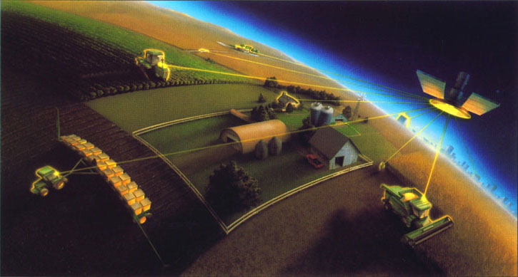
Our clients include large agricultural businesses, city, county, and state government, water management districts, engineering firms, law firms, developers, and real estate agencies. We are experienced in parcel mapping and sales analysis for property appraisers, spectral analysis of soils and foliage for precision agriculture operations, accident re-creation for law firms, construction of utility networks and inventory for municipalities, and the creation of graphic exhibits for engineering firms to aid in permitting process just to name a few. We do not limit ourselves to the above and are always looking for new and exciting ways to implement the powerful tool that is GIS. Let us find a solution for you.
Our Clientele
-
State Government
-
County Government
-
Municipalities
-
Agri-Business
-
Water Districts
-
Engineering Firms
-
Law Firms
-
Land Developers
-
Real Estate Agencies